
Maine

My 13th and final state.

An example of a classic Maine farmhouse with barn.

Another nice farmhouse in rural, southern Maine.

I noticed this street as I rode by north of Portland, ME. An omen? Should I stop here?

Herb Maine and Carol White took me out to their house on Chebeague Island in Casco Bay.

Leaving Chebeague Island in a light fog.

Another view from the Chebeague ferry.

A local county fair that I missed by a week.

An historic figurehead in Stockton Springs, ME.

A Maine house that could have served as the backdrop for Christina’s World by Andrew Wyeth.

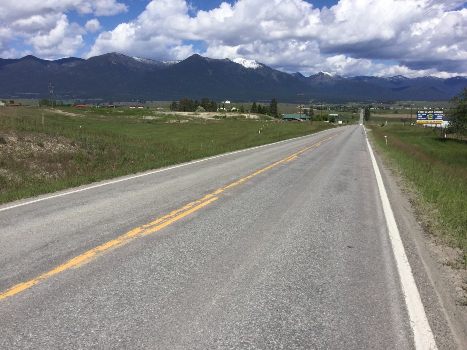
Road signs along U.S. 1.

Over the new high bridge across the Penobscot River.

Carrying berry pies on my way to visit friends.

Here I am along side the post-and-beam house of Michael and Kristine Lynes in Bar Harbor, ME.

Northeast Harbor, ME.

The loop road in Acadia National Park includes wonderful arched bridges commissioned by David Rockerfeller, Jr., before he donated much of this land for the national park.

From the top of Cadillac Mountain one can see the Cranberry Isles behind me over my left shoulder, where my niece, Kelly, and her family live.

Norman Sanborn, my sister-in-law, Jean Galvin, and my niece, Kelly Sanborn, at Northeast Harbor, ME.

The view from Kelly and Norman’s house on Great Cranberry Island, with Cadillac Mountain sticking out of the clouds.

The view of the mountains on Mt. Desert Island from farther Downeast.

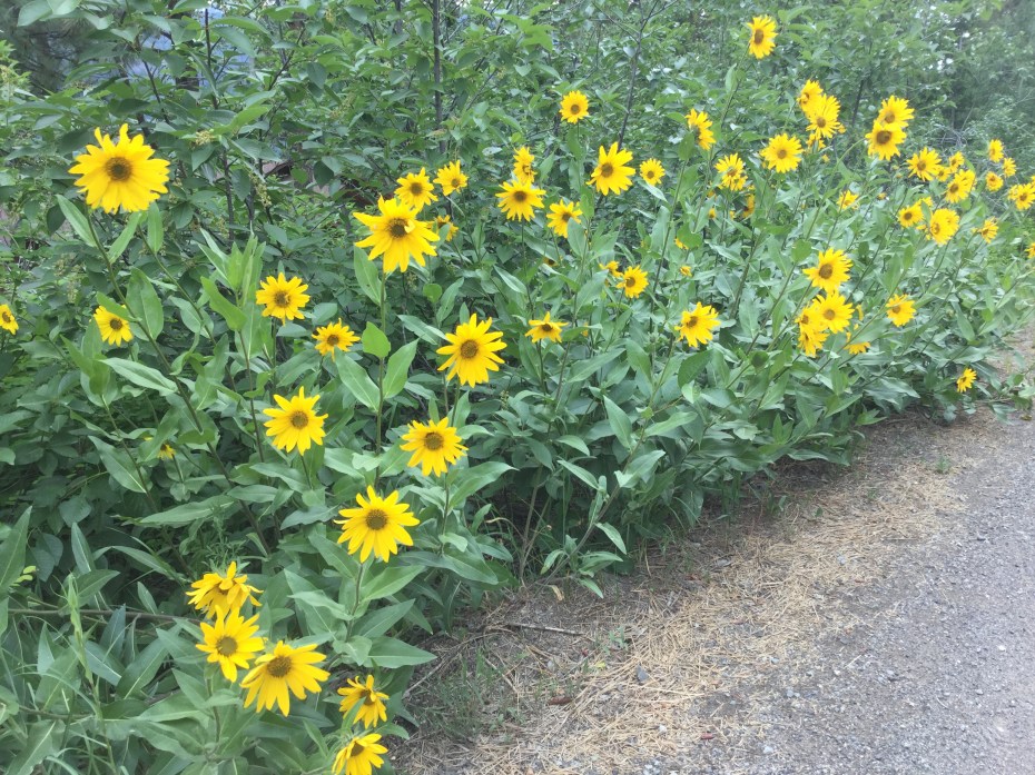
Blueberry bushes on the side of the road in Washington County, ME.

Breakfast at Helen’s Restaurant in Machias on the final day of my trip.

The easternmost town in America!

The fireweed was bright along the shore of Quoddy Head.

West Quoddy Head Lighthouse is a memorable sight! The conclusion of my three-month trip after 5,042 miles of peddling. I’ll keep this Christmas tree ornament as a reminder of the trip!
New Hampshire

My 12th state. Note that the state sign is in two languages. Nobody around here seems to notice that Maine, New Hampshire and Vermont have been bilingual for a century or more with all the French Canadian immigrants who settled here in the old mill towns, even while they squak about the recent Spanish-speaking immigrants.

An example of a small New England church found in every town center, this one from Newton, NH.

Another classic New England church, this one in Exeter, NH.

Downtown Exeter, NH, with the classic old brick buildings.

Smuttynose Brewery’s Finest Kind IPA, courtesy of my friend, Byrd Allen. The brewery’s name, a wonderful moniker for a microbrew, comes from an island in the Isles of Shoals group offshore of New Hampshire. I camped on this island as a teen as I lead a group from a nearby YMCA camp during the summer of 1969.

Another example of classic New England architecture, including the house painted white with black trim, and a lovely stone wall.
Massachusetts

I entered my 11th state on August 3, 2016, along the historical Blackstone River valley.

Some of my ride in southern Massachusetts was along a nice rail-trail, which included some wonderful old brick-arched bridges.


I arrived in Concord, MA, along the edge of Walden Pond.

I stayed with my sister, No. 1 Road Angel, at her house in central Concord, MA, which was built around the time of Washington statehood in the late 1800s.

Downtown Concord is a quintessential New England historical town.

On a visit to the North End of Boston with Scott Cassel and his family, we went by St. Stephen’s Church, which my dad rennovated in the mid 1960s to its original Bulfinch design. My mom carved replica Corinthian column caps inside. It is part of our family.
Rhode Island

I entered my 10th state on August 2, 2016.

One of the rennovated mills along the Pawtuxet River on my way into Providence, RI.

The Brown University campus where my friend, Michael White, teaches.

Michael accompanied me north from Providence to deliver me safely into Massachusetts.

The old Slater Mill on the Blackstone River in Pawtucket, RI, is considered the birthplace of the American industrial revolution, soon to be a national historic park.
Connecticut

The banks of the Hoosatonic River in western Connecticut.

Chapel Street in New Haven, where Veronica lives.

The historic old campus of Yale, a block from Veronica’s apartment.

A local IPA called Big Cranky (95 IBUs) that nearly did me in with its 9.5% alcohol.

New Haven harbor with the Atlantic Ocean out behind, after dipping the front wheel.

Veronica accompanied me north almost to Middletown, CT, before heading back home to New Haven.

There are only a few places in the state where it is safe for a bicycle to cross the Connecticut River. This is one, the high bridge at Middletown.

I followed a beautiful rail-trail called the Airline Trail for more than 30 miles toward Storrs, CT. Note the stone wall on the right – a ubiquitous site in New England forests.

The “road” that Google maps put me on in far eastern Connecticut.
The Hudson River Valley, NY

The Hudson is an impressive river north of Albany where the Mohawk enters from the west.

I rode through Albany on my way down valley, mostly on trails along riverfront parks but also including a high bridge to get over to the east side of the river.

I was struck by how rural the valley is south of Albany.

More rural settings as I headed SE across the Appalachians toward Connecticut through side valleys called hollows.

More rural roads near the New York / Connecticut border.
Upstate New York and the Erie Canal

The Erie Canal, built 200 years ago, is still a viable route for boats along much of its length.

The tow path along the edge of the canal made for a nice bike ride for hundreds of miles across Upstate New York.

The canal passes through many historic towns, or, maybe it is more accurate to say that many historic town were built up along the canal beginning in the 1820s.

An old side canal still shows the 200-year-old stonework and locks.

I was surprised at how many sections and locks of the old Erie Canal are still in use today.
Southern Ontario, Canada

The 15-minute ferry ride from Michigan allowed me to enter Canada at Sombra, which was surprisingly rural so close to Detroit and the connections between the Great Lakes.

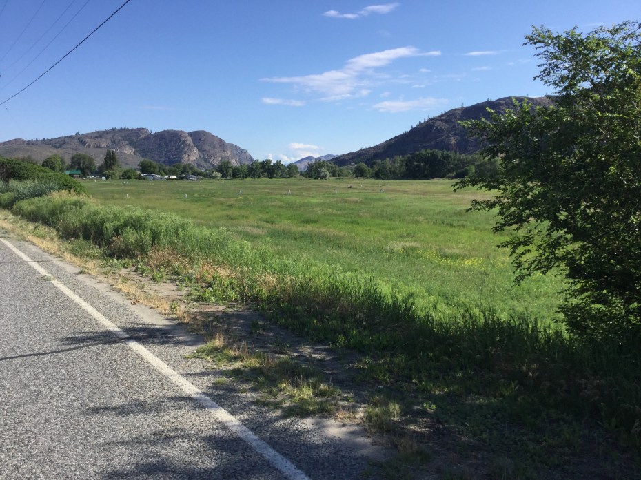
The whole area I rode through north of Lake Erie was farmland.

There were wind farms everywhere in southern Ontario.

The wind was strong across Lake Erie, making for surf where I rode along the north shore.


I had to drink Canadian beer while across the border, but the choices were limited to Labatt’s and Molson’s.

Niagara Falls are impressive – one can see why they have always been such a tourist attraction.

Speaking of tourists, I wasn’t alone on this Saturday afternoon in July. I was in a minority to be speaking English.

The boat on the river does a good job of getting all the tourists soaked.
More Michigan

The “Tunnel of Trees” road along the shore of Lake Michigan is a beautiful stretch of road, albeit narrow, winding and a bit dangerous for bicyclists.

Dunes along the Sleeping Bear Dunes National Lakeshore were huge, as was Lake Michigan itself.

Even across the middle of the lower peninsula of Michigan, farms and countryside predominated.

I stayed overnight in the Doherty Hotel in Clare, MI, across from the famous Cops and Donuts shop. One could get fat just breathing in this place!

I rode across Michigan on the Pere Marquette Trail, which is a converted railroad right-of-way. Beautiful trail, one of the best I travelled on in the whole country.

In Midland, MI, there is a famous three-cornered bridge called the “Tridge” that crosses a river junction.

I crossed the St. Claire River from Michigan into Ontario on a tiny ferry that holds about 9 cars and charges $2.00 American for a bike.
Michigan

I know it’s getting late in the evening getting into camp when I can see my shadow as I head east. Arriving in the U.P., Iron River, MI, 7/4/2016.

A message on the mens’ room wall while I was ordering U.P. pasties in Iron River, MI, 7/5/2016.

The logging trucks in the U.P. are huge, carrying 12-foot sections sideways in truck-and-trailer over 42 wheels. They drive just like the logging trucks on the Olympic Peninsula in WA — they don’t give bicycles an inch. 7/6/2016.

The Upper Hand Brewery makes an ale called Yooper in appreciation for the residents of the U.P.

Lake Superior was enormous (as expected) and cold (as expected – average temp is 40 degrees F), impressive to see and to camp on the shores of. 7/8/2016.

Superior Whitefish Reuben and fries, Ore Dock ale and bike maps trying to work out the trip ahead – a good evening at Duck Pond ale house on the shore of Lake Superior. 7/8/2016.

Munising, MI. There are more lighthouses on the Great Lakes than on both “salty” coasts combined. 7/9/2016.

My campsite at a nice state forest on the last night in the U.P. 7/10/2016.

The views of the NE corner of Lake Michigan were awesome as I rode along Rte. 2 toward The Bridge. 7/11/2016.

The Mackinaw Bridge from the tip of the U.P. 7/11/2016.

Mackinac (pronounced “Mackinaw”) Island’s Victorian architecture and bicycle-riding clientele. 7/11/2016.

My route took me through Downer, Minnesota. I had to veer off route a mile to achieve Bliss, Michigan. 7/12/2016.

The Legs Inn along the Lake Michigan shore is a unique restaurant and bar built from local wood and stone by a Polish immigrant almost a 100 years ago, and still serves many unpronounceable Polish beers. 7/12/2016.
Minnesota into Wisconsin

The folks at the Great Northern Bike Company in Fargo ND have great digs in the rennovated train depot and are super friendly and helpful.

Choices of soda at the Sabin, MN (population 421) General Store.

Even though this trip has been an upper for me, I still had to go through Downer, MN (population 90).

After enjoying Music Man in North Dakota, I had to stop for the marching band competition in Alexandria, MN.

The beautiful Mid-State Trails in MN are built on old railroad rights-of-way and paved smooth as a baby’s bottom. (My handlebar bag’s map pocket keeps my route handy, foreground.)

Nice farmland through this part of Minnesota, and some picturesque old barns.

I entered my sixth state on July 1st, a month-and-a-half and 2500 miles into the trip.

The St. Croix River forms the boundary between Minnesota and Wisconsin mid-states. At St. Croix Falls, WI, where this dam is located, I got a new chain for my bike, and then had to peddle up a 12% grade to get out of the river valley.

My bicycling buddies, Cindi and Sherry, from Salem, Oregon, (whom I met in Washington state and keep connecting with again and again along the ride) invited me to stop at Balsam Lake, WI, where they had a family gathering over the Fourth of July weekend. Folks on all the lakes here use these big, stable, pontoon boats to motor around.

All the lakes in the Northwoods of Wisconsin have shoreside cabins, usually referred to here as cottages, with a pontoon boat to cruise the water and a nesting pair of loons.
North Dakota
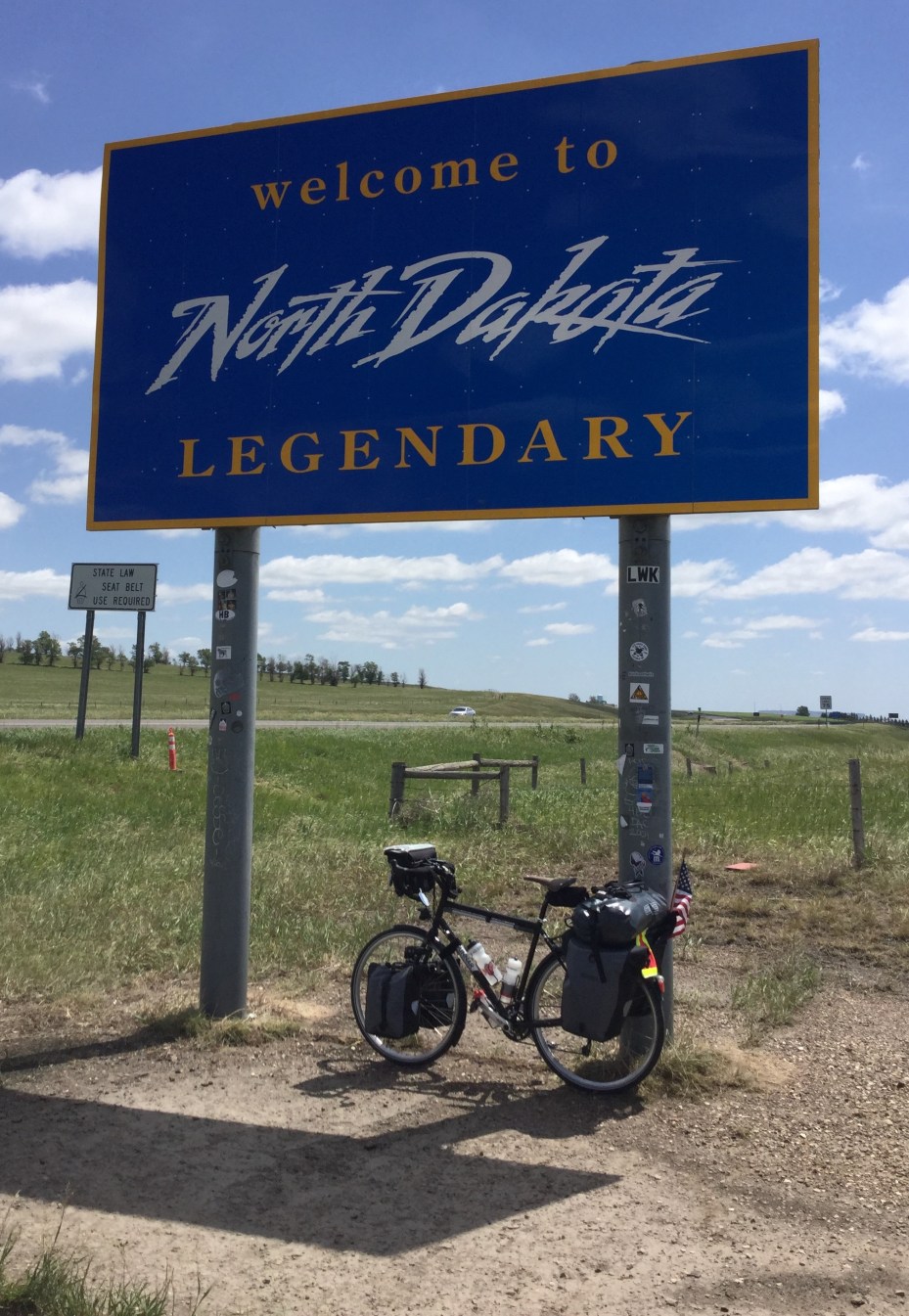
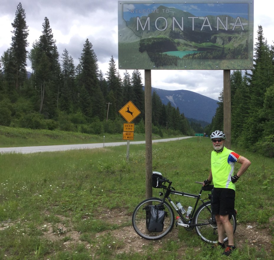
Fourth state, after spending weeks getting across the Big Sky of Montana (6/16/2016)
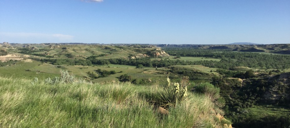
The edge of the Badlands, as seen from Medora ND (6/17/2016)
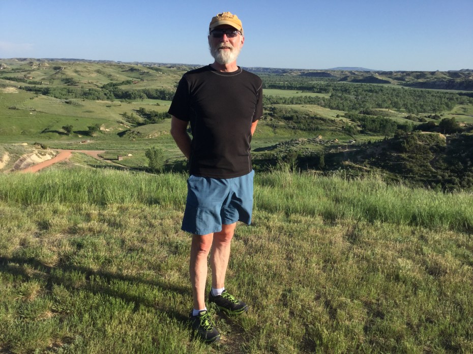
“A good Dave in the Badlands,” to adapt a local expression — in my civilian clothes, sunburned knees and all, in Medora ND (6/17/2016)
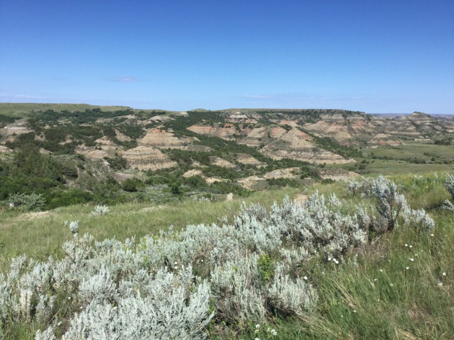
The Badlands offer a wealth of interesting terrain, quite a change from the flat plains of E. Montana (6/18/2016)
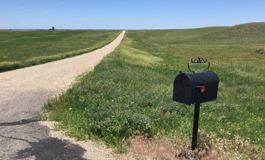
Got mail? Back to more flat, open farmland in south-central ND. When the house is over the horizon, you know you have a long driveway (6/20/2016)
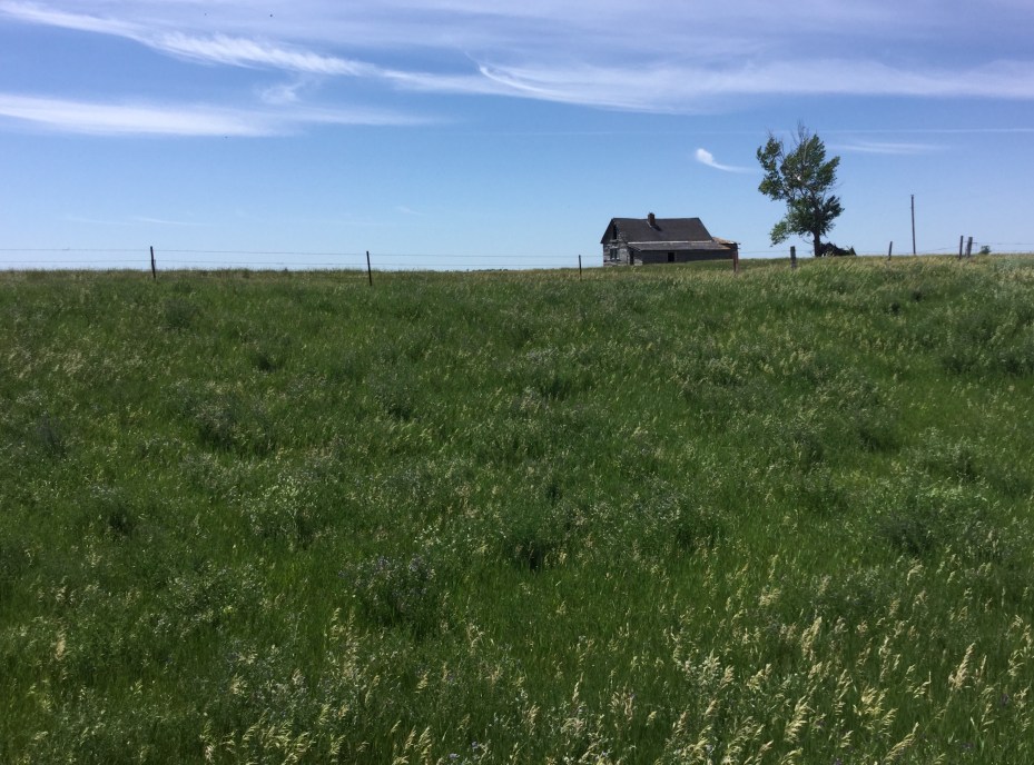
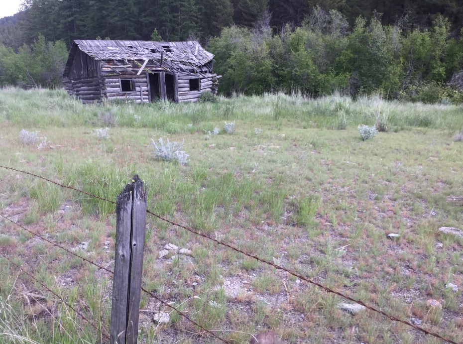
An old homestead in south central North Dakota (6/20/2016)
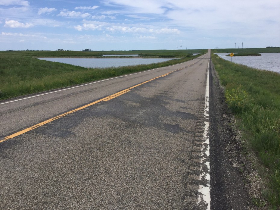
North Dakota is full of small “kettle-hole” ponds amidst the flat farmland. The state is known as the “duck factory” of America. This is a typical scene in southeastern ND. Note the crappy shoulder, if you are a cyclist. (6/21/2016)
Eastern Montana
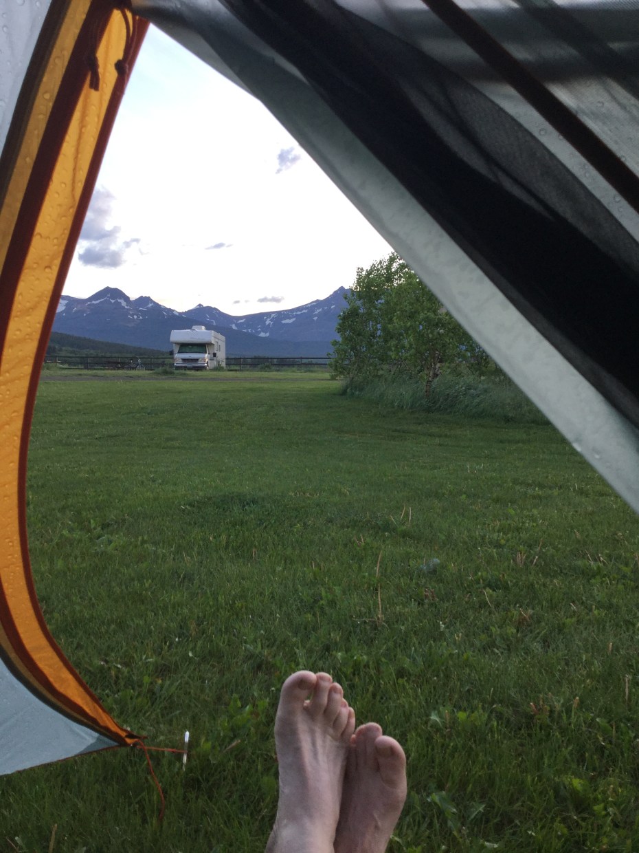
The view of the east side of Glacier N.P. from my campsite at Circle R Ranch in East Glacier, MT (6/10/2016)
The vastness of the plains is amazing, as is the BIG SKY (6/11/2016)
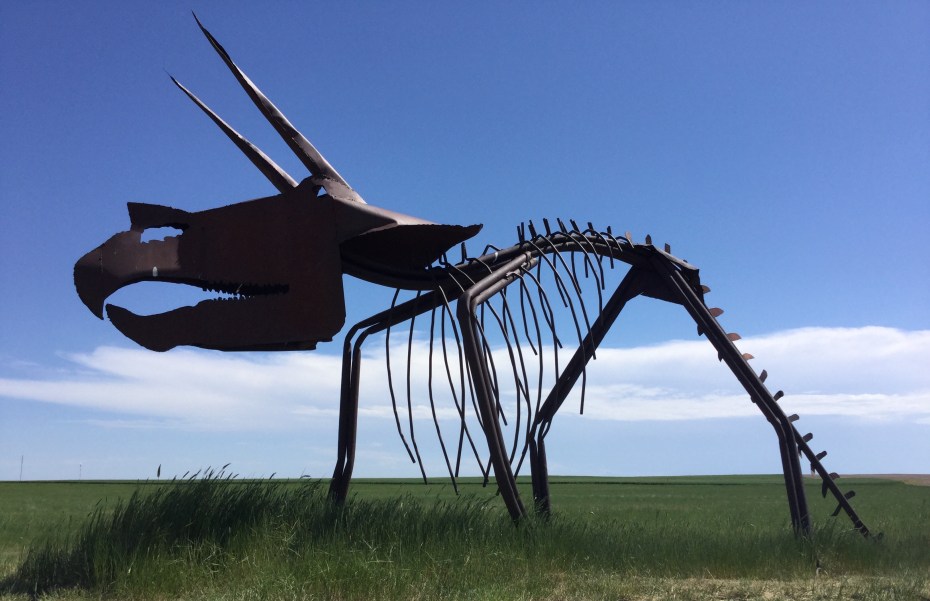
A lot of dinosaur bones have been found in this part of the country. This is a metal sculpture in Rudyard MT (6/11/2016)
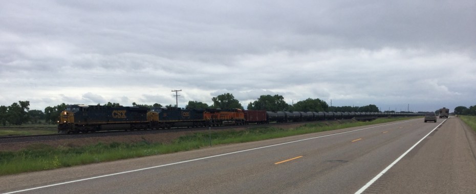
Long oil trains from the Bakken field in North Dakota blow by each day (6/12/2016)
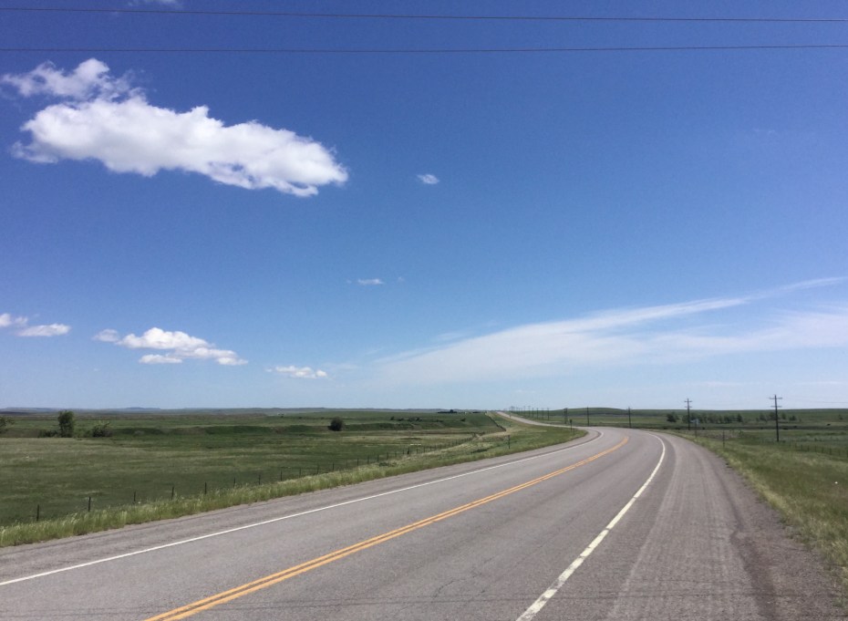
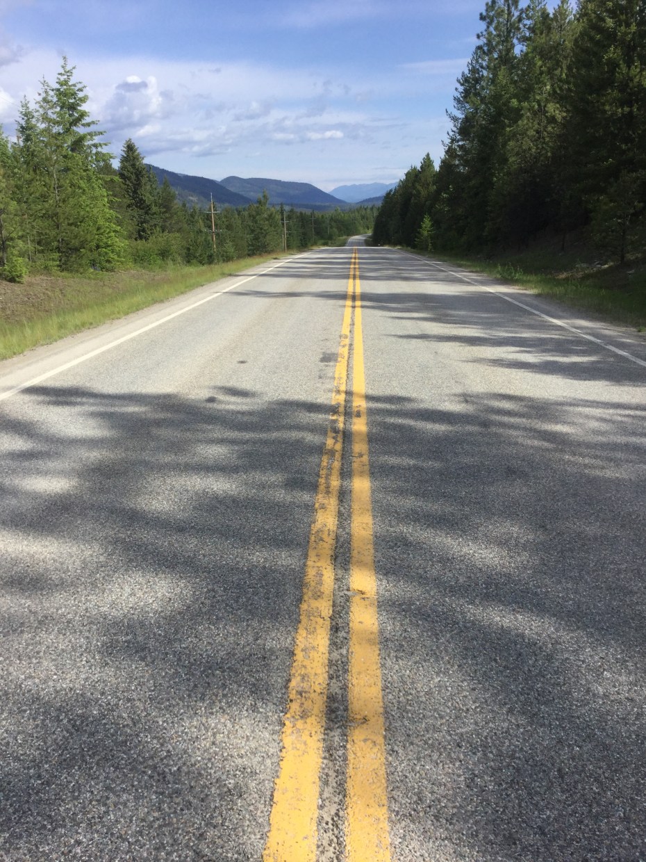
The road (U.S. 2) seems to go on forever in a straight line (6/12/2016)
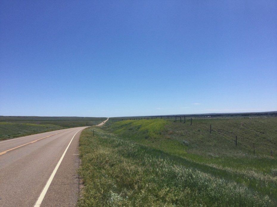
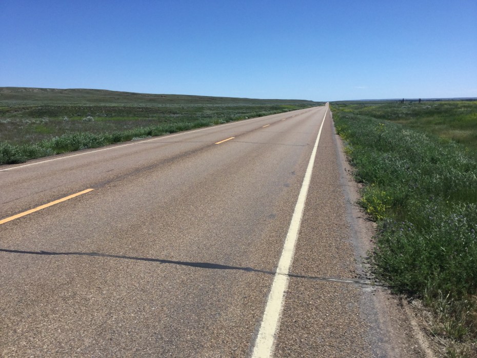
Even when the road’s not straight, the vastness is always there (6/12/2016)
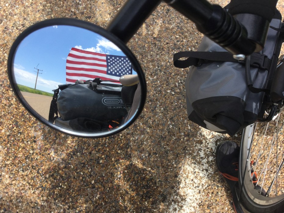
When I see Old Glory in my rear-view while peddling east, I know I’ve got a strong south side-wind (6/13/2016)
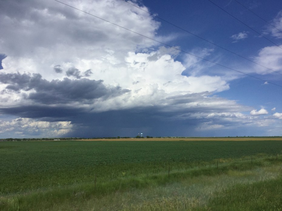
There is some BIG weather out here too. I regularly look over my shoulder as well as check my weather radar app. So far, like in Camelot, it only rains on me at night! (6/13/2016)
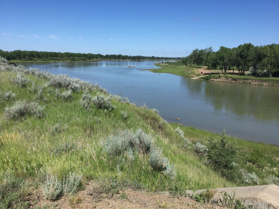
I crossed the mighty Missouri south of Wolf Point, MT – a milestone on my trip (6/14/2016)
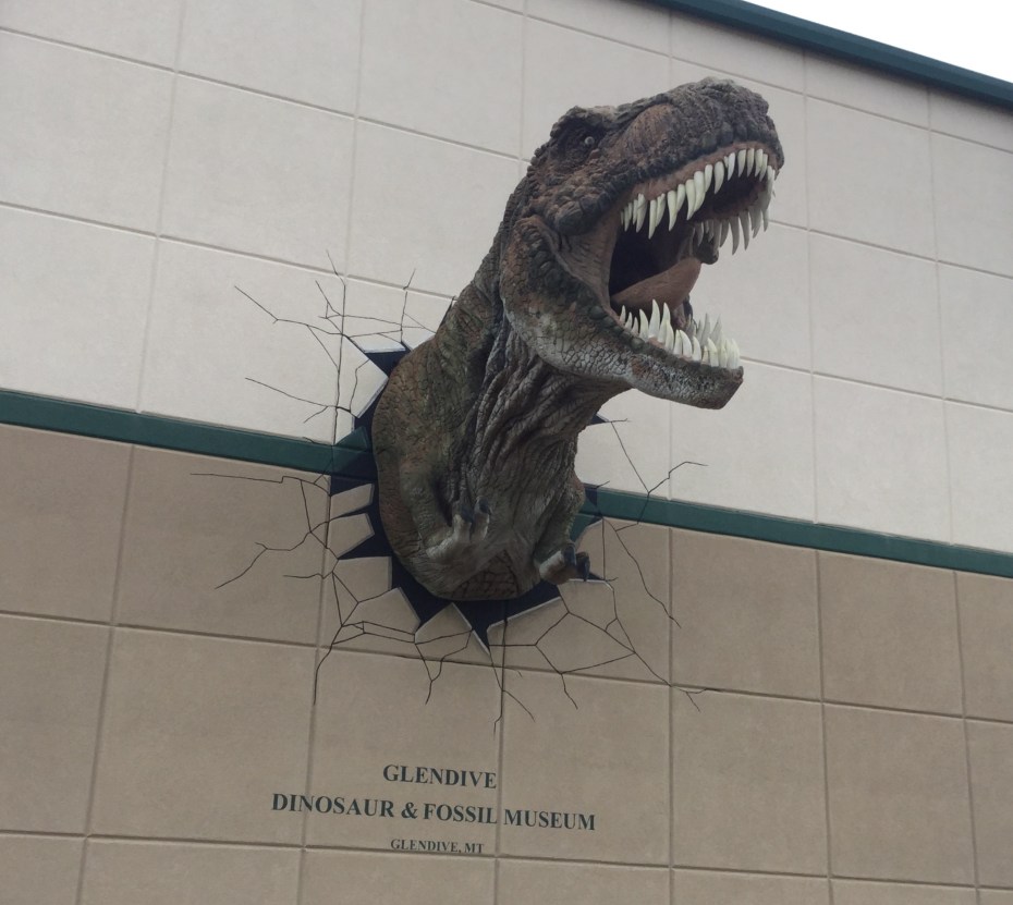
In Glendive MT, this poor Tyrannosaurus is trying to get out of the weirdest museum I’ve ever been in, which has some neat dinosaur bones but tries to portray the fossil record “from the perspective of the Bible.” (6/15/2016)
Whitefish MT and Glacier National Park
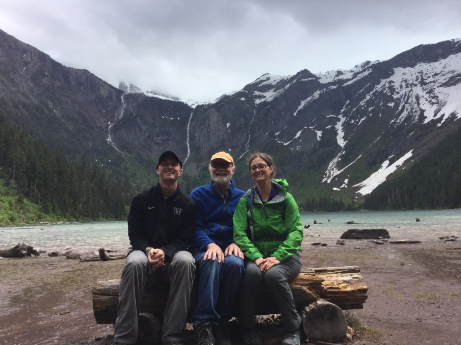
Nice having company: Nick and Mary Sue joining me for a wet hike into Avalanche Lake in Glacier N.P. (6/2/2016)
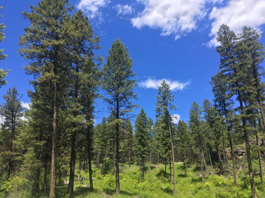
Where’s Dave? Mountain-biking on the Whitefish Trail (6/3/2016)

Riding toward the west side of Glacier National Park (6/4/2016)
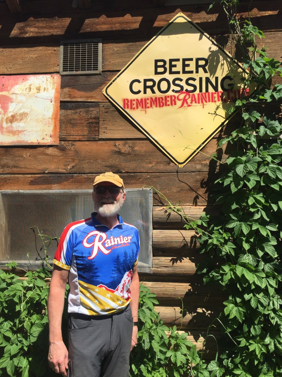
Even in Montana they search for the wild Rainiers. Polebridge MT (6/4/2016)
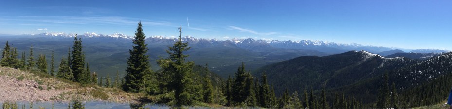
Panorama from Huckleberry Lookout in Glacier N.P. (6/5/2016)

The local ale is so good it seems to float on Lake McDonald, Glacier N.P. (6/5/2016)
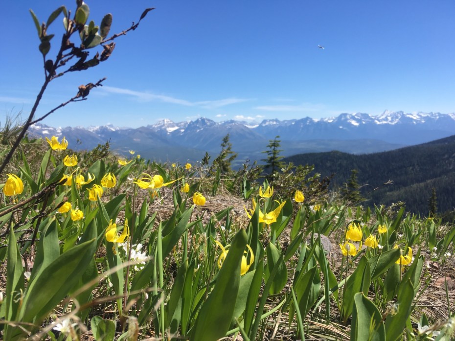
Glacier lilies in Glacier N.P. (6/5/2016)
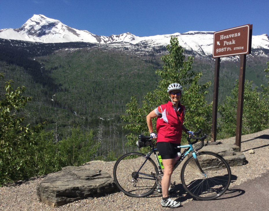
Mary Sue getting close to Heaven, on Going to the Sun Road, Glacier N.P. (6/6/2016)
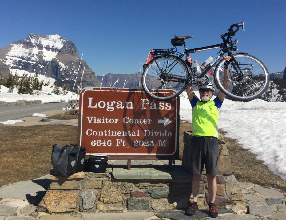
The air is so thin up here I can even lift this heavy bike (sans panniers). This is the highest this bike (and rider) will get on this trip. (6/6/2016)
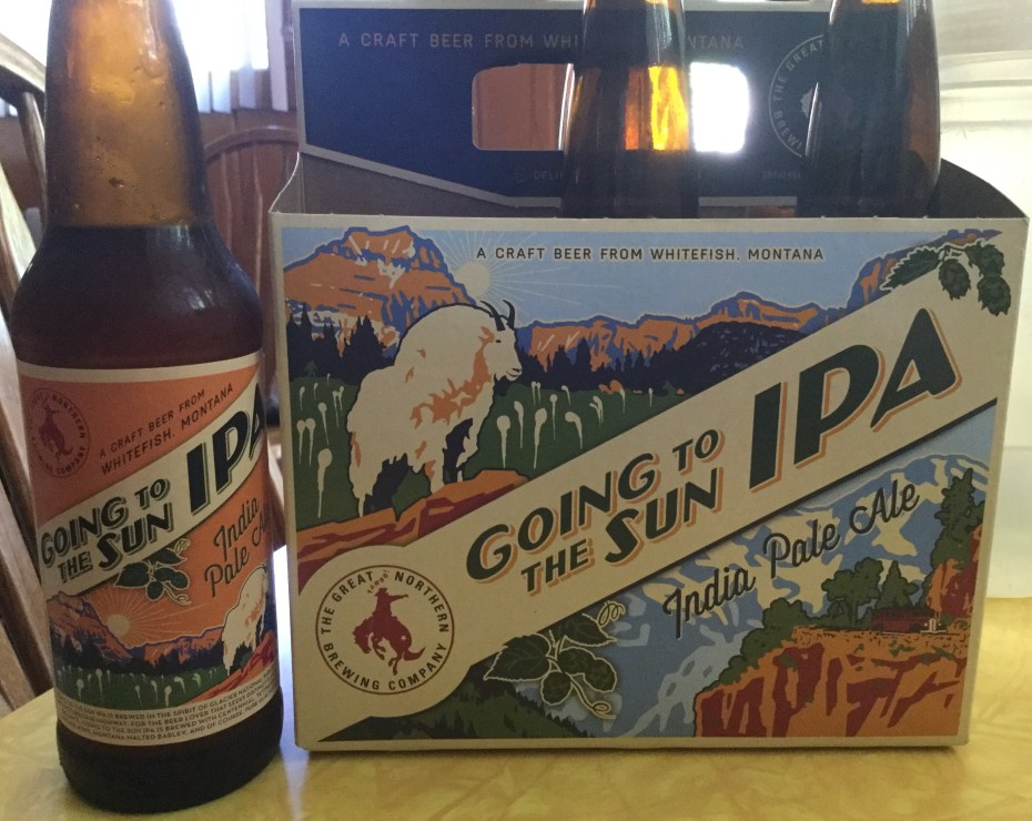
Inspiration for our climb up to Logan Pass, Glacier N.P. Yes, we did see mountain goats and beargrass, as depicted. My favorite new ale. (6/6/2016)
Idaho Panhandle and NW Montana
Lake Pend Oreille in Idaho (5/28/2016)
Through Idaho in less than 48 hours, on to the Big Sky (5/28/2016)
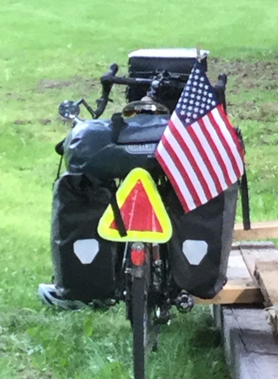
Picked up a flag for Memorial Day Weekend, might just stick with it through this part of the country (5/29/2016)
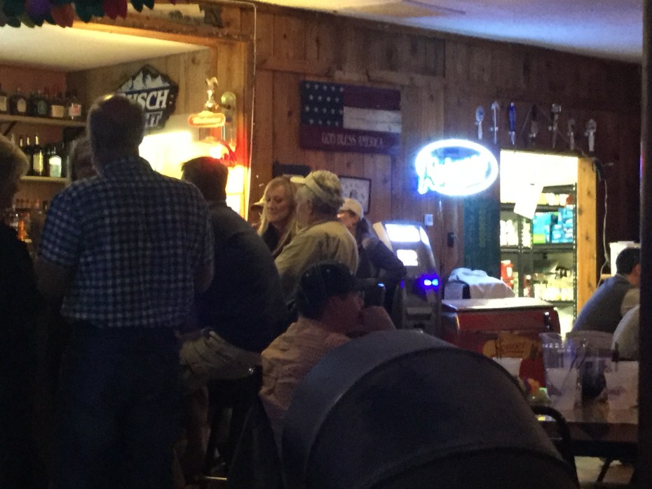
A lively holiday night at the Halfway House tavern in Bull Lake MT; Kokanee and Yaak Attack on draft. I camped out back (5/29/2016)
Not much traffic on these Montana roads, just me, white-tail deer and a moose (5/29/2016)
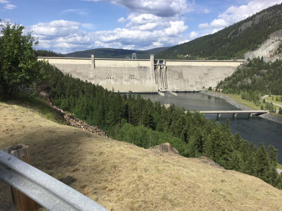
Libby Dam on the Kootenai River, forming Koocanusa Lake which extends well into Canada; Libby is part of the enormous Columbia River system of hydropower, flood-control, irrigation and fisheries management (5/29/2016)
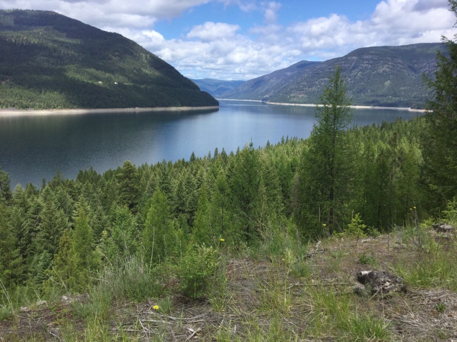
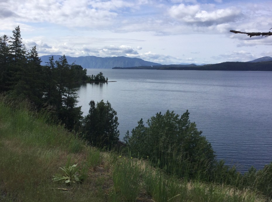
Lake Koocanusa, MT (5/30/2016)
The road into Eureka MT, with Canadian and American Rockies in view (5/30/2016)
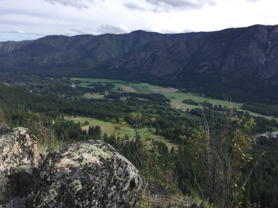
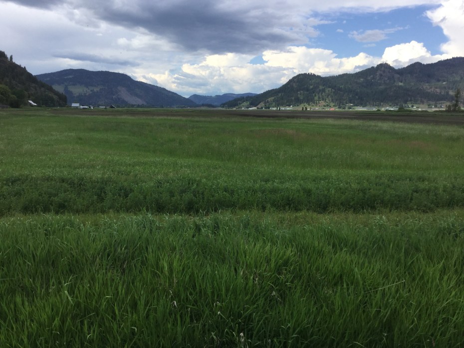
Isn’t there a song about “purple mountain majesties above the fruited plain”? I’ve found the spot, or, should I say, one of the spots! The long line of Rocky Mountians is totally impressive, as it should be; taken south of Eureka, MT (5/31/2016)
Eastern Washington
Bernie Bernheisel’s farm, where I enjoyed a rest day, in Carlton on the Methow River, WA (5/22/2016)
The upper Methow Valley from above Steve and Hanne’s place near Mazama, WA (5/22/2016)
Balsamroot in Mazama, Methow Valley, WA (5/22/2016)
The Okanogan Valley between Riverside and Tonasket, WA (5/22/2016)
An early homestead near Wauconda Pass, WA (5/24/2016)
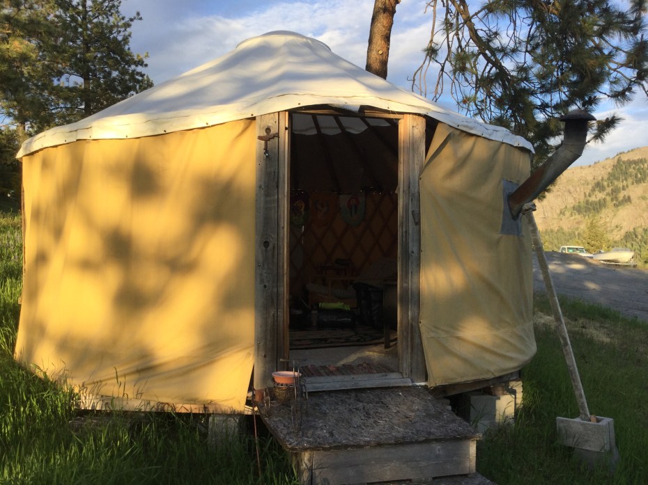
My accommodations in Republic, WA, where a road angel offered me use of her yurt for the night (5/24/2016)
The lush Colville Valley in the Northeast corner of Washington State (5/25/2016)
The Pend Oreille Valley near Newport, WA (5/26/2016)
Whidbey and the North Cascades, Washington
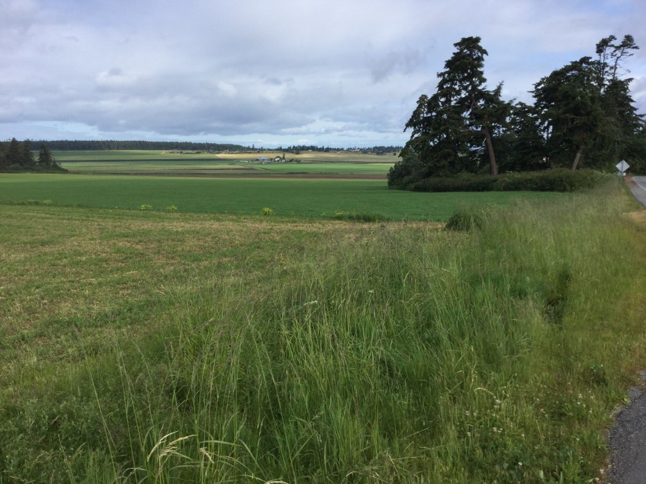
The farmlands of mid Whidbey Island (5/19/2016)
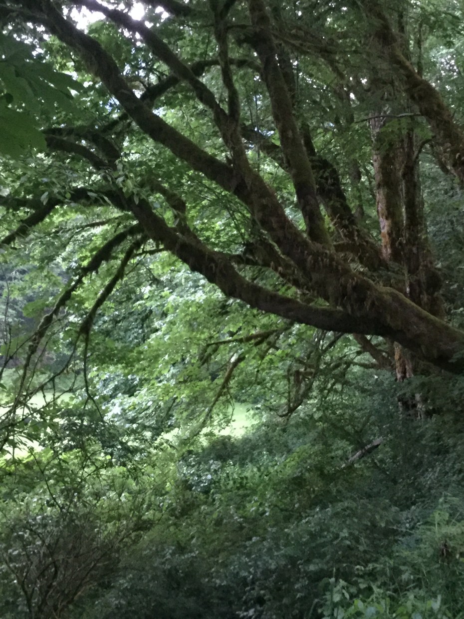
The lush rain forest in the upper Skagit Valley (5/19/2016)
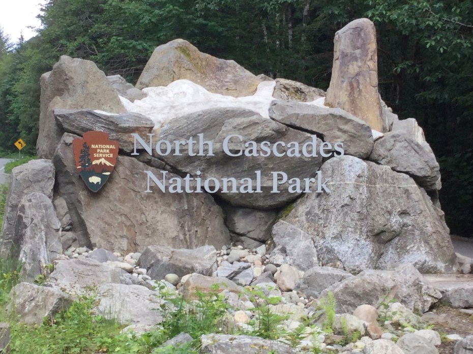
The “American Alps,” one of the most remote and least-visited of the National Parks in the lower 48 (5/20/2016)
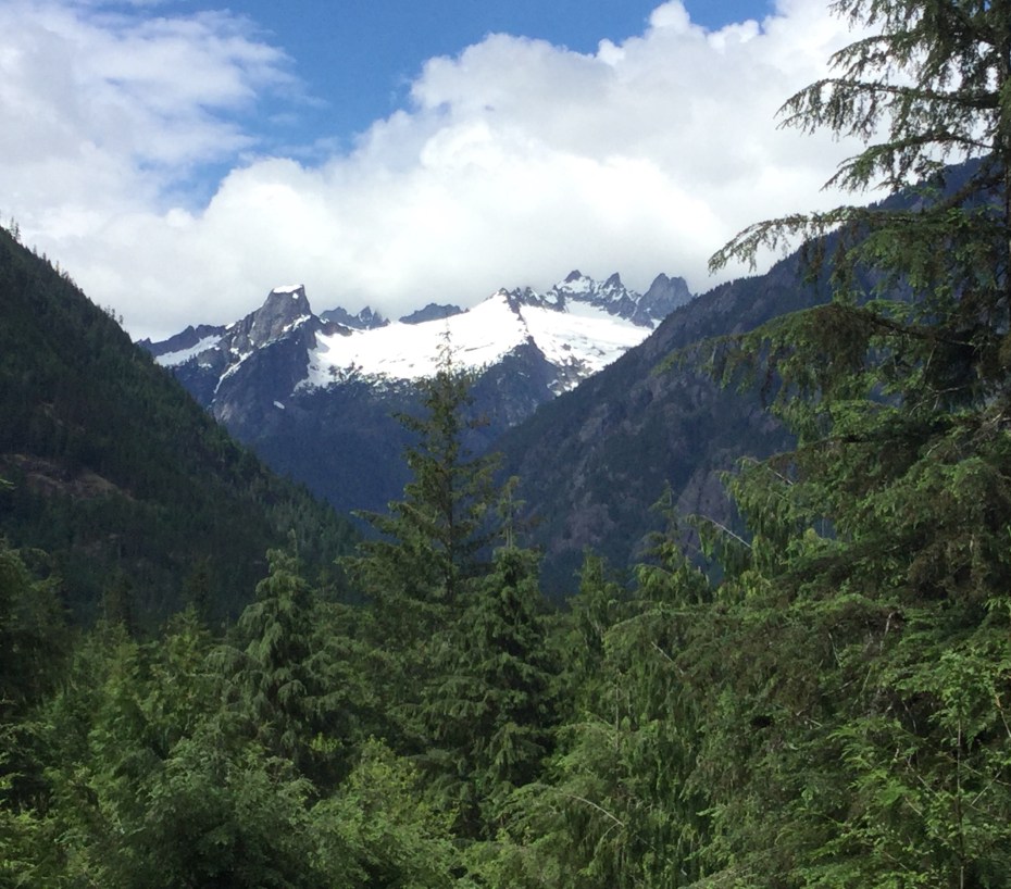
A few of the Southern Pickets in North Cascades National Park (5/20/2016)
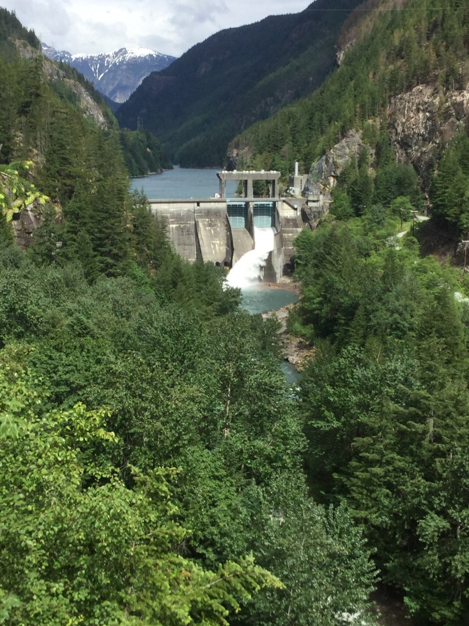
Diablo Dam on the Skagit River (part of the hydropower for Seattle City Light (5/20/2016)
Ross Lake from the North Cascades Highway (5/21/2016)
Olympic Peninsula, Washington

Pacific coast looking south from Cape Flattery (5/14/2016)

Pysht valley rain forest (5/15/2016)

Crescent Beach west of Port Angeles (5/16/2016)

Port Angeles harbor (5/16/2016)

Dungeness Spit, Sequim WA (5/16/2016)

Olympic Mountains from Dungeness Spit (5/16/2016)

The view from my campsite at Dungeness (5/17/2016)

Olympic view heading out of Dungeness (5/17/2016)

The lovely Olympic Discovery Trail (5/17/2016)

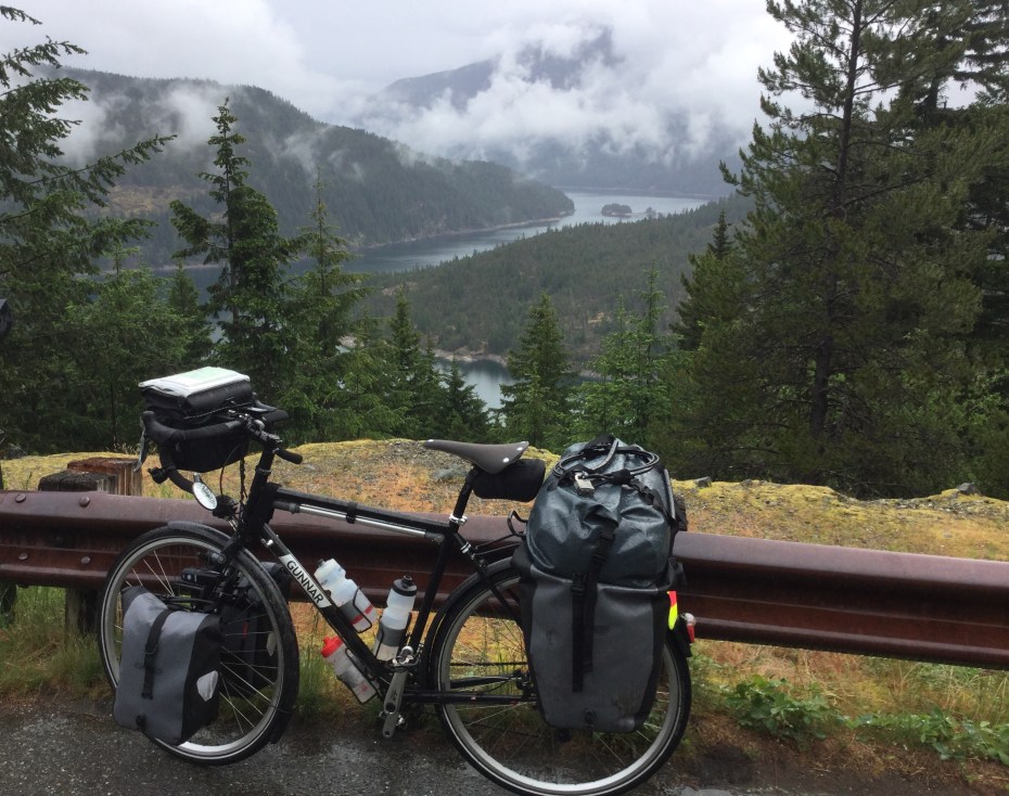
Crossing Admiralty Inlet on the ferry from Port Townsend to Keystone, Whidbey Island, with Mount Baker in view (5/17/2016)
Seattle, Washington
Shots from my hometown (Seattle, Washington, USA) before I left:
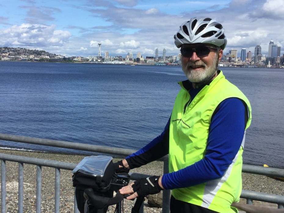
The view looking east across Elliott Bay to the downtown Seattle skyline (4/2016)
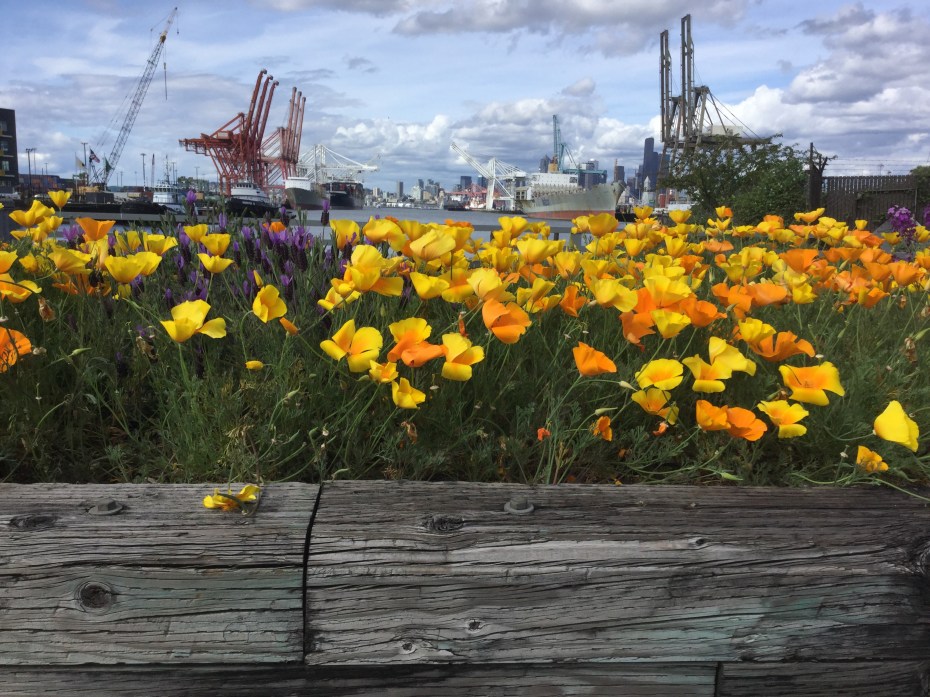
The Seattle waterfront, deep-water port for trade with Asia (4/2016)
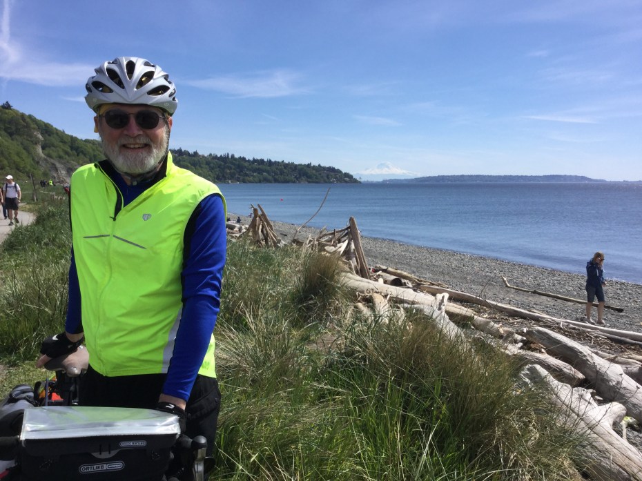
View from West Point in Seattle, with Puget Sound in the foreground and Mt. Rainier in the distant background (4/2016)
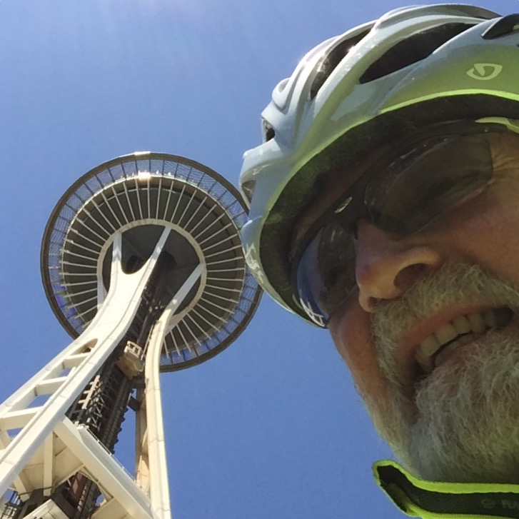
The Space Needle, a symbol of Seattle since the 1962 World’s Fair (5/2016)
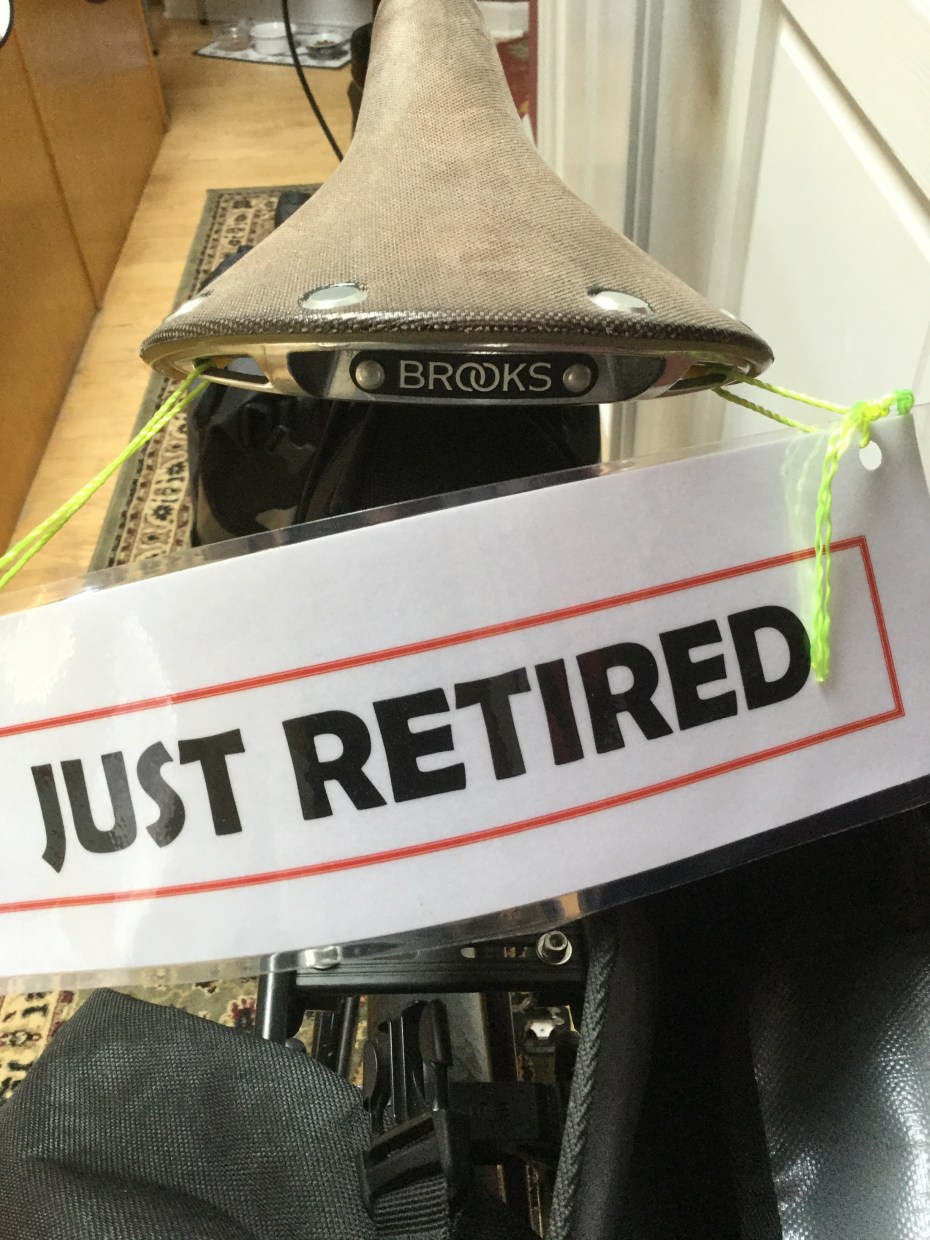
Sign (plus cans out-of-sight) added to my bike by co-workers on my final day (4/2016)
